|
Manage Geocoding Layers |
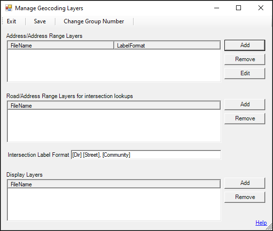
This configuration is found on the Input Tab > Server Side History Report Resources. It refers to the layer files that should be used on the Address/Address Range Layers, Road/Address Range Layers for intersection lookups, and Display Layer sections to describe GPS locations in reports. Options on this page are only available after the geocoding sync group has been set up. If the sync group is not configured,a pop up message will indicate that there is no sync group defined and to contact WTH Customer Support.
Click on the interactive image below for more information.
After all parameters have been set up and the Save button has been clicked, click on Apply Changes and Restart Service.
|
Copyright © 2026 |