|
Parcel Assessment Report |
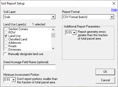
Use the parcel assessment tool, located on Tools Menu > Show Map Editing Tools > Advanced Tools > Reporting, to perform an agricultural land assessment of a parcel. This report takes into account soil types indicated by areas drawn on a soils layer and land use designations indicated by areas drawn on a land use layer. This report automatically calculates the acreage of each soil type/land use combination on the parcel.
Click on the interactive image below for more information.
If the map has no Land Use layer, or if the existing Land Use layer is out-of-date, then land use types may be manually placed.
Startup Script
Users may include a section in the tm4.ini file titled [Parcel Assessment Setup]. This section can contain a list of any Think GIS commands (ie. script) that are to be executed each time the Parcel Assessment tool is started. Several SetAtt commands are typically listed here to automatically configure the layer settings. Any changes made here to layer settings are automatically restored when finished using this tool.
|
Copyright © 2026 WTH Technology |