|
Manually Designating Landuse |
If a land use layer is unavailable or out-of-date, it may be designated manually by the user. Any areas not designated as a specific land use type will be automatically classified as Tillable.
1) Go to Tools > Show Map Editing Tools > Advanced Tools > Reporting > Parcel Assessment Report, or click on the ![]() button on the main tools menu, if there.
button on the main tools menu, if there.
2) Simply click the check box next to "Manually designate land use." If the parcel layer contains a deeded acreage or legal acreage field, input the field name into the "Deed Acreage Field Name (optional)" box, otherwise the Parcel Assessment Wizard will ask for the legal acreage to be manually entered as part of the process.
3) In the pop-up window, Select from List or Pick on Screen choose the preferred method.
3a) Select from List:
3b) Pick on Screen
4) A dialog box will open up with a list of Land Use types.
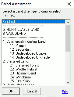
5) Left-click on a land type to assign to the parcel (i.e. Woodland), and then click OK.
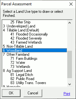
6) In the example of a woodland land use type, draw a boundary around the area that looks like woods by left-clicking at each point until the area of interest has been enclosed by the polygon, and then right click.
7) Pick the next type of land use and repeat the step 6, again using the aerial photography as a guide for each applicable land use type.
8) If there is a Home site on the property, choose the "9 Homesite" land use, and it will create a 1 acre exception.
9) If there is a transmission tower on the property, choose the "83 Utility Trans. Towers" land use, and it will create a 0.125 acre exception.
10) After all of the land use types have been placed leave the Land Use selection on "Finished!," and then click OK.

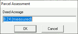
11) If no legal acreage field was designated, then a pop-up window will appear with the acreage as measured in Think GIS. Replace this with the legal deeded acreage, and then click OK.
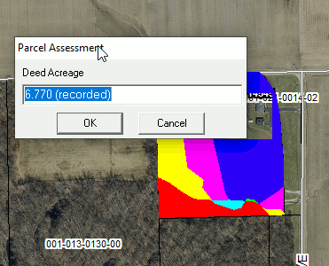
12) If the legal acreage was designated, then a pop-up window with the acreage as listed in that field for the parcel being assessed will appear. Confirm that it is correct, and then click OK.
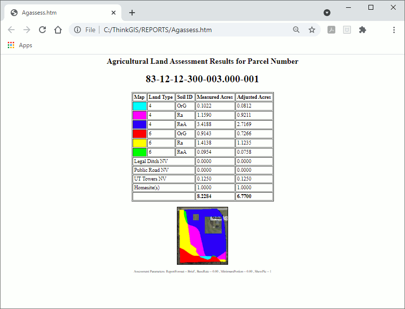
13) Think GIS will create a form that lists all of the land types and soils types and the acreage for each, along with the measured acres and adjusted acres for each as well.
|
Copyright © 2025 WTH Technology |