|
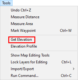
Get Elevation |
Use this tool, located on the Tools Menu, to label the elevation for a selected point on the map.
To label an elevation:
1) Select Get Elevation from the Tools menu.
2) Click on one or more points and Think GIS will calculate and label their elevations.
3) As with any temporary construction labels on the screen, users can select View - Redraw to erase these labels.
Notes:
•If no LIDAR data is present, Think GIS will default to using the USGS publicly available elevations.
|
Copyright © 2026 WTH Technology |