|
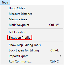
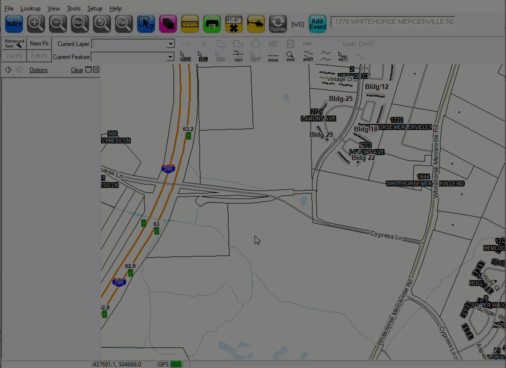
Elevation Profile |
Use this tool, located on the Tools Menu, to create an elevation profile for a series of selected points on the map.
To label an elevation:
1) Select Elevation Profile from the Tools menu.
2) Left click along desired line of travel (LoT), being sure to click anywhere the LoT changes direction. When all points have been selected, right click to generate elevation profile.
See video graphic below for a walk-through on this process.
Notes:
•If no LIDAR data is present, Think GIS will default to using the USGS publicly available elevations.
|
Copyright © 2026 WTH Technology |